Living in Newport-on-Tay

Newport-on-Tay’s transport network connects the town locally to Dundee, regionally within Fife, and nationally, with buses, roads, cycling, and walking routes forming the backbone. While there are no direct rail, ferry, or air services, nearby Dundee provides multiple options.
Trains
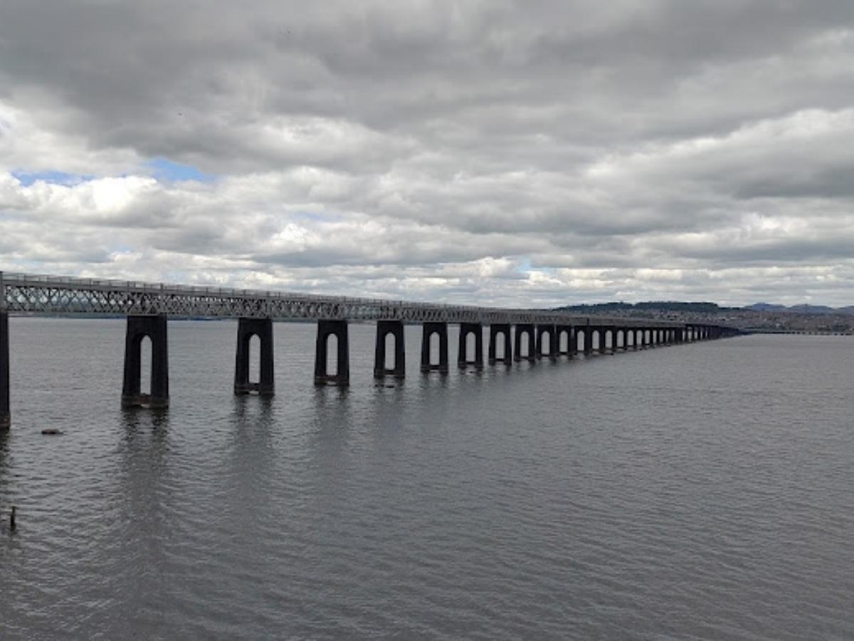
Newport-on-Tay has no active railway station since the Newport Railway closed in 1969. The nearest station, Dundee Railway Station (2 miles north, 10-15 minutes by car, bus, or taxi), is on the East Coast Main Line, managed by ScotRail. Connections include:
- Aberdeen – 1 hour 13 minutes
- Edinburgh Waverley – 1 hour 15 minutes
- Glasgow Queen Street – 1 hour 30 minutes
- Inverness – 3 hours 15 minutes
- London King’s Cross – 6 hours 30 minutes
Train Operators include ScotRail, London North Eastern Railway (LNER), CrossCountry, and Caledonian Sleeper. Frequent services support commuting to regional towns like Arbroath and Perth.
Buses
Newport-on-Tay’s bus network, primarily operated by Stagecoach East Scotland and Moffat & Williamson, ensures reliable connectivity to Dundee and Fife. Key routes include:
- Route 77 – Hourly service linking Gauldry, Wormit, Newport-on-Tay, and Dundee city centre.
- Route 92 – Connects St Andrews, Balmullo, Gauldry, Wormit, Newport-on-Tay, and Dundee, with multiple daily journeys.
- Route NP1 – Local weekday service within Newport-on-Tay, from the Primary School to Kinbrae Park.
- Routes 72/73 – Link Newport-on-Tay to Dundee, Broughty Ferry, Monifieth, Carnoustie, and Arbroath, with Route 73 accepting ScotRail tickets.
- Go-Flexi – On-demand service for rural North East Fife, including parts of Newport-on-Tay.
Destinations include Dundee’s Overgate, Wellgate, V&A Dundee, Ninewells Hospital, and universities. Smart ticketing (e.g., MegaRider) and real-time updates are available via the Stagecoach or Moovit apps. The town has 151 bus stops, with Dundee as the primary hub.
Roads
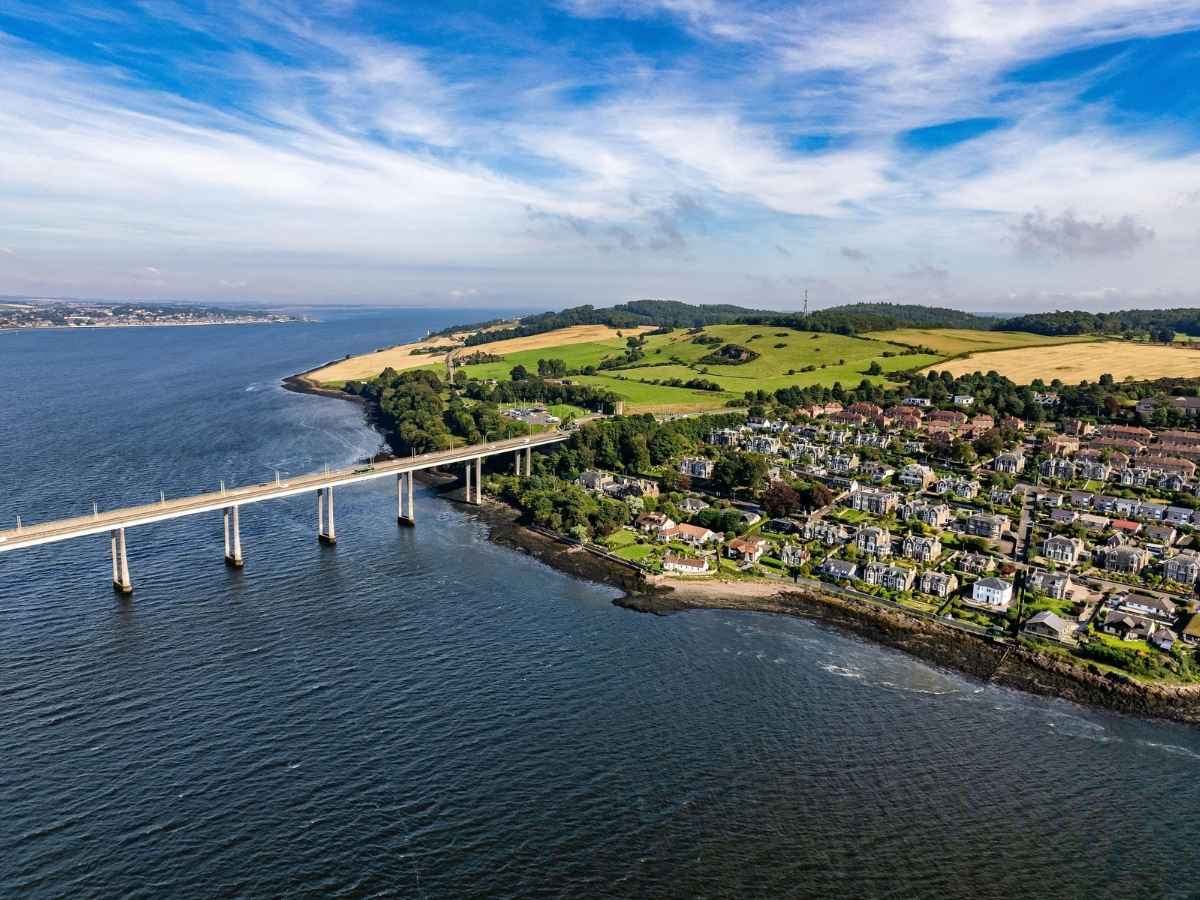
The Tay Road Bridge (1.4 miles, toll-free) is the main link to Dundee, supported by major roads:
- A92 – Connects to Dundee, Arbroath, and Fife coastal towns.
- B946 – Links to Tayport and rural areas.
- A91/A914 – Provides access to St Andrews (12 miles, 20 minutes).
The A92 connects to the A90 for Perth (22 miles, 30 minutes) and Aberdeen (66 miles, 1 hour 15 minutes). Traffic signals, pedestrian crossings, and cycle lanes enhance mobility. Public car parks are available, with limited but accessible EV charging points.
Ferries
Newport-on-Tay has no passenger ferry terminals. Seasonal leisure boat trips may operate from nearby Dundee or Broughty Ferry, offering River Tay views for tourists and cyclists. These are not part of the public transport network. Dundee Port (2 miles north) handles freight and occasional cruise ships.
Airport
Newport-on-Tay has no local airport. Dundee Airport (4-5 miles, 15-20 minutes by car or Stagecoach Routes 77/92) offers:
- Daily flights to London Heathrow (Loganair).
- General aviation, charters, and emergency services.
Edinburgh Airport (58 miles, 1 hour 15 minutes by car or 1 hour 40 minutes by bus via Stagecoach X7) serves 150+ destinations, including London, Amsterdam, Paris, New York, and Dubai. It’s the primary international gateway for residents.
Cycling and Walking in Newport-on-Tay
Newport-on-Tay champions active travel with scenic routes for cycling and walking.
Walking in Newport-on-Tay
- Fife Coastal Path – A 117-mile route through Newport-on-Tay, linking Tayport and St Andrews with Tay Estuary views.
- Town Centre Paths – Pedestrian-friendly routes to shops, the High Street, and heritage sites, with clear signage.
Cycling in Newport-on-Tay
- NCN Route 1 – Runs through Newport-on-Tay, connecting Dundee and Fife’s coastal routes.
- Tay Road Bridge Cycle Lane – Links to Dundee’s network (e.g., Riverside Drive).
- Bike Hire – Limited e-bike options via Fife Council or private providers (check Sustrans).
- Ongoing Projects – Fife Council’s active travel initiatives expand cycle lanes and traffic calming measures.
Cycling maps and safety guidelines are available via Fife Council and Sustrans.